The dense haze of wildfire smoke currently blanketing Northeast metropolitan corridors has sharply focused consumer attention on Zillow Group Inc. and the wider real estate market.
Yet, just as these physical climate risks become highly visible to millions of Americans, the digital tools designed to help homebuyers measure them are showing signs of fading.
The listing giant recently pulled all property-level climate risk ratings from its online home listings nationwide.
Although Zillow provides external, outbound links to First Street‘s database, the company no longer hosts or displays numeric climate risk scores, maps, or factors directly on active listings.
This industry retreat has drawn criticism from environmental advocates, though some researchers emphasize that the ultimate social benefit depends on how reliable the data is.
“As a homebuyer, the key is trying to access information about those relative risks and then decide how to make trade-offs with that information relative to all the other criteria that a homebuyer might be considering,” Jesse Gourevitch, an economist at the Environmental Defense Fund (EDF), told Inside Climate News.
Without upfront, standardized disclosures, experts warn that homebuyers are left evaluating their single largest financial asset with a massive blind spot.
“Buyers and homeowners want reliable information to help them make confident decisions, and we aim to provide clear, transparent details as they navigate one of life’s biggest financial choices,” Zillow wrote.
Redfin defends climate risk transparency
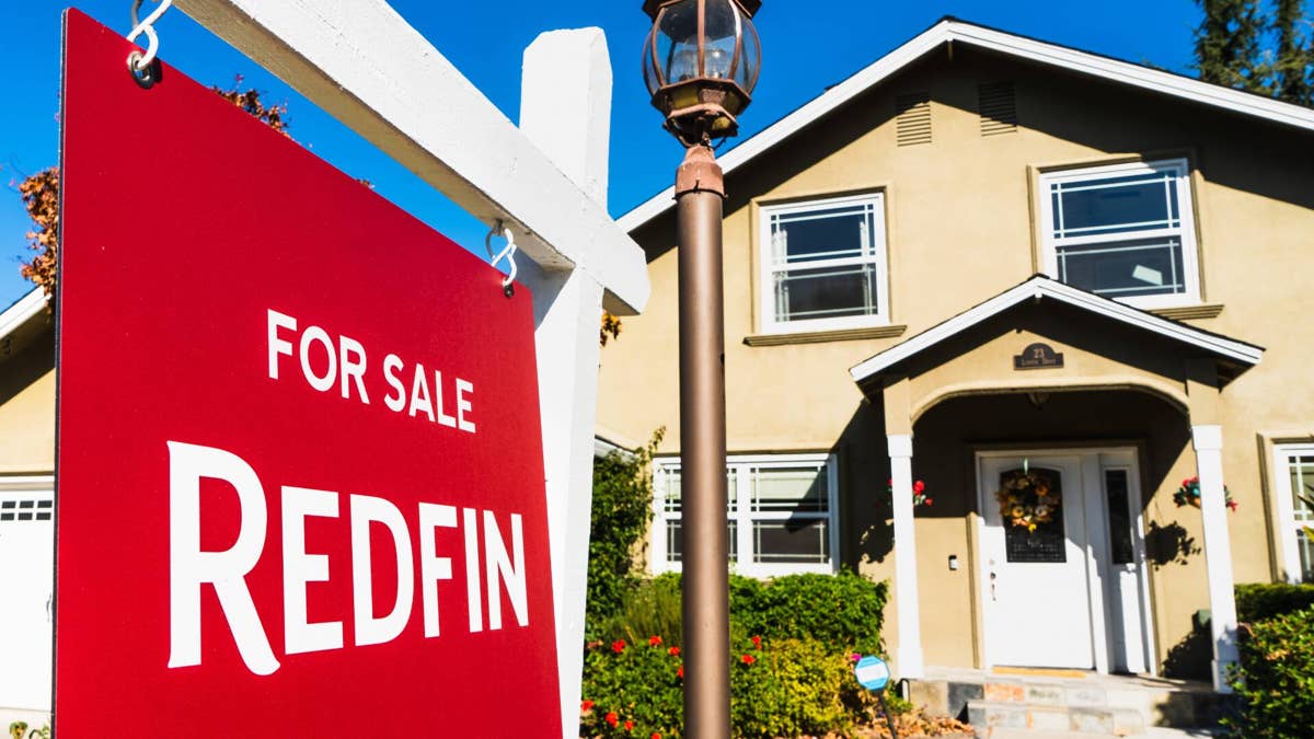
While one portal steps back, other major real estate platforms are actively choosing to hold their ground. Redfin Corp. has publicly committed to maintaining its on-page climate risk features, highlighting a growing philosophical divide in real estate technology.
The portal’s leadership maintains that withholding climate risk profiles from buyers does not change the physical reality of the property’s location. Instead, it simply shifts the burden of extreme weather costs onto the buyer after they have already closed on a mortgage.
“By bringing weather data directly into the home search experience, Redfin makes it easier to compare neighborhoods based on the factors that matter most to you — not just the home itself,” Redfin explained.
First Street defends property risk modeling
As the primary climate-risk data provider powering these digital listing features, First Street has actively defended the accuracy of its physical hazard modeling. The nonprofit scientific research group specializes in mapping property-level risk scores for wind, heat, flood, and wildfire exposure, according to First Street.
The organization emphasizes that localized climate modeling is not designed to predict immediate disaster events, but rather to calculate long-term financial exposure.
More on housing market:
- Zillow sees change in housing market, home values
- New home-selling strategy poses threat to buyers
- Goldman Sachs issues major prediction for U.S. housing market
Predictive modelers emphasize that ignoring localized risk metrics does not prevent physical damage to a structure. Instead, it merely hides the long-term compounding liabilities that eventually hit a homeowner’s personal balance sheet.
“Our scores aren’t telling you how likely that home is to be damaged; our scores are telling you the exposure level of where that structure sits,” said Matthew Eby, founder and chief executive of First Street, in an interview with Claims Journal.
Shutterstock
High climate exposure erodes long-term property wealth
I modeled the following financial case studies to show exactly how a filing timeline changes your retirement security, giving you practical benchmarks to match against your personal financial situation.
The baseline models assume a starting purchase price of $440,600, matching the record-high national median existing-home price tracking on the Federal Reserve Bank of St. Louis’ FRED database.
The high-risk property is modeled inside the nation’s most climate-exposed ZIP codes, where properties experience a direct valuation drag that reduces overall home price growth by over $40,000, according to research published by the National Bureau of Economic Research (NBER) on property insurance and disaster risk.
The low-risk property is situated in an insulated zone with a standard 3% annual insurance premium escalation, matching the average baseline pacing outlined by the Federal Reserve Bank of Dallas‘ analysis of housing expense trends.
Scenario A: The low-exposure residential property
The low-risk property experiences standard, stable market appreciation of 4% annually over the 10-year period, increasing the home’s value to $652,201. Homeowners insurance starts at the national average of $3,086 per year and rises by a modest 3% annually, totaling $35,377 in cumulative premiums over the decade.
The total home equity gained over the 10-year holding period reaches $211,601. When subtracting the cumulative insurance costs, the homeowner secures a net housing wealth gain of $176,224.
Scenario B: The high-exposure climate-risk property
According to research published by the National Bureau of Economic Research on climate change and long-run real estate pricing, surging insurance premiums capitalize directly into home values, reducing overall home price growth by over $40,000 in highly exposed neighborhoods.
To model this extreme pressure, the high-risk property is calculated with a depressed 3% annual appreciation rate alongside the NBER’s projected $43,900 structural valuation discount, bringing the home’s estimated value to $548,228 after 10 years.
Because the property sits in a high-hazard zone, its starting insurance premium is modeled at a higher baseline of $3,808. A policy brief from the Federal Reserve Bank of Dallas confirms that rising insurance costs are an escalating source of household financial stress. With premium costs in this high-risk zone projected to compound at 8% annually, the homeowner faces a staggering $55,165 in cumulative payments over the decade.
After accounting for these elevated, compounding insurance premiums, the net housing wealth gain on the high-risk property drops to just $52,463, according to a research report from the Brookings Institution on the challenges climate change poses to property insurance.
Scenario comparison: 10-year property wealth impact
- Starting Home Value: $440,600 for both properties.
- 10-Year Estimated Home Value: $652,201 for the low-exposure home, compared to $548,228 for the high-exposure home (representing a loss of $103,973 in potential property growth).
- 10-Year Cumulative Home Insurance Premiums: $35,377 for the low-exposure home, compared to $55,165 for the high-exposure home (an additional cash drain of $19,788).
- Net Property Wealth Gained: The low-exposure homeowner secures $176,224 in net wealth, while the high-risk homeowner is left with only $52,463 (resulting in a total deficit of $123,761).
(Source: Jeffrey Quiggle, TheStreet)
Structural climate liabilities prove costly
In the scenarios I have outlined here, purchasing a property in a high-climate-exposure ZIP code results in a net financial loss of $123,761 over a single decade.
This stark wealth variance is driven by the compounding double-whammy of a climate valuation discount and escalating, non-disclosed insurance premiums.
Disclaimer: The financial scenarios presented in this article are independent mathematical models calculated for educational and illustrative purposes only. Past real estate performance and historical weather trends do not guarantee future property valuation outcomes or insurance rate stability.